FAQ
Q: miniSim is freezing
A: At times you may find that your miniSim PC or miniSim software has become unresponsive. This document provides recommendations to help you remedy this behavior in a safe and orderly manner.
Q: Can I use TPR_Surface_Tire_Friction_Ind to detect what surface the driver is driving over? In my DAQ file I see lots of zeroes, but some sections have ones. What's going on?
A: Values of one and zero in the DAQ file is because the miniSim is configured to provide a value of 1 when that variable changes.
From NadsMiniSimCollect.general.txt:
; -1 means write to DAQ file only when changes to variable occur
; 0 means don't write the variable at all
; 1 - n means write the variable to the DAQ file every nth frame
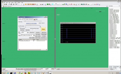
With these default collect settings, a zero means no change, 1 means a change. Driving a scenario and weaving across and off the roadway results in a DAQ file with ones and zeroes:
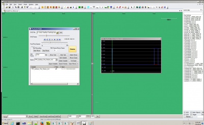
Reviewing the drive DAQ file:
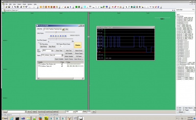
Adding another variable to check what surface types are being driven on (262 is asphalt, mild, dry so this indicates driving on-road):
The file that explains what surface types are can be found in two places: miniSim\data\surfaceType2frictionID.dat (included here in entirety):
- SurfaceIndex NadsDynaIndex Coeff(not used: Here for clarity)
0 1 # Default Condition 1 5 # Terrain 2 14 # Sand 3 6 # Highway 4 6 # Cement 5 15 # Gravel 6 6 # Asphalt 7 12 # Dirt 8 12 # Sod 9 7 # Shoulder
This list is incomplete with respect to the current set of surface material codes used in the tile library and installed worlds. You can find a complete list of available surface material codes (SMC) - (not all of these are used in the tile library, but this is the current version for SMC codes) under the TMT\ProjectData\Tiles\CommonLRIData\SurfaceMaterialSpecifications.xlsx.
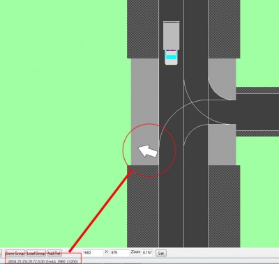
MiniSim does not report surface material codes within intersections that do not have an elevation map associated with them, as shown here in ISAT:
For TMT versions prior to 1.8, most intersections do not have elevation maps (v1.8 is in progress and not yet available).
If the issue is that you don’t see 1 values where expected, perhaps you can upload your DAQ file to wetransfer for NADS to review. During testing, I did not ‘lean over’ onto the shoulder – I drove so the entire ownship was on the shoulder, or on terrain.
Another way to check if the driver has left the roadway is to use a lane deviation calculation: if the lane deviation is greater than <measured_total_lane_width> or less than -<measured_total_lane_width>, the driver is likely out of the lane.


